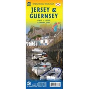
ITM. Skala 1:18 000.
Tryckt på ett vattentåligt plastmaterial.
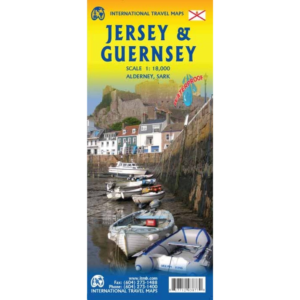
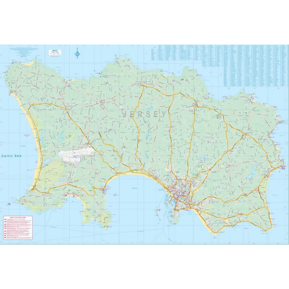
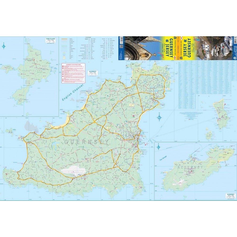
Kartan visar alla turistattraktioner, vägar och landsbygdsrestauranger / pubar. Baksidan domineras av Guernsey, naturligtvis, och dess historiska huvudstad St. Pete Port, men formen på ön tillät oss att inkludera generösa inbyggda kartor över Alderney och Sark, samtidigt som den lilla Herm ingår i huvudkartan. Denna karta har två omslag: en visar Jersey och Guernsey och den andra noterar Guernsey och Jersey med två olika bilder. Och i det övre högra hörnet, flaggan på varje ö. Detta är en av de "måste se före döden" turistmål och är väl värt ett besök.
The map shows all touristic attractions, roads, and rural restaurants/pubs. The reverse side is dominated by Guernsey, naturally, and its historic main town of St. Pete Port, but the shape of the island allowed us to include generous inset maps of Alderney and Sark, while including tiny Herm in the main map. This map has two covers: one showing Jersey and Guernsey, and the other noting Guernsey and Jersey, with two different pictures. And in the upper right corner, the flags of each island. This is one of those ‘must see before death’ touristic destinations and is well worth the visit.


