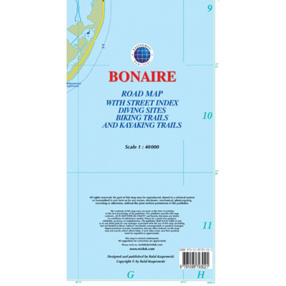
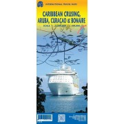
Karta Bonaire i skala 1:40 000
The map shows all the island's known roads and streets with their names, displays its many diving sites and an extensive set of biking routes, and locates all the major hotels by name.
Attractive full color layout with high-quality glossy finish; rich topographic detail.
Main and secondary roads, diving and shipwreck sites, biking and hiking trails, hotels, beaches and reefs, Arikok National Park and other natural features, caves, bird refuge and watching sites, turtle nesting sites, gold smelter and windmill ruins, international airport, parking areas, hotels, hospitals, lighthouses, gas stations, places of worship, cemeteries, schools, museums, ports and marinas, police stations, post offices, wind turbines, geological formations, and other points of interest.


