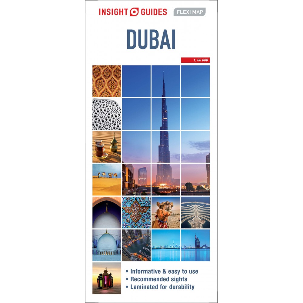
Stadskarta Över Dubai i skala 1:15 000, laminerad. Engelesk text.
Flexi Map Dubai is laminated, durable and includes 3 separate maps, each accompanied by separate indexes that are categorised for ease of use.
Inside Flexi Map Dubai:
- A list of 24 recommended sights, divided by theme and linked to the mapping by numbered markers.
- A handy information section with concise details on getting around, tourist offices, money, tipping, opening times, public holidays, telecommunications, emergency telephone numbers and climate.
- The main map depicts the Dubai area at a scale of 1:100 000, from Sharjah to the Dubai Waterfront.
- The Jumeirah Palm and the other development areas are shown.
- Main roads are named, and numbered where applicable, and the Metro system is clearly marked.
- Central Dubai is shown at a scale of 1:15 000 and identifies places of interest, public buildings, selected hotels, parks and shopping areas.
- Both main and minor roads are named, car parks and one-way systems are clearly shown.
- Many prominent public buildings, hotels and other places of interest are highlighted and listed in the extensive index.
- An overview map of the United Arab Emirates, at a scale of 1:1.5 million, shows the road network with intermediate driving distances.
- Points of interest are shown as well as other features, such as, water springs, coral reefs, shipwrecks and offshore oilfields.


