Map Studio skala 1:25 000
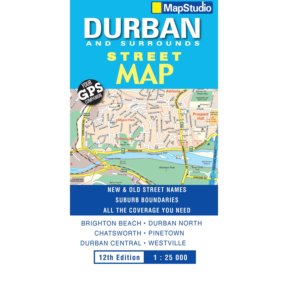
Stadskarta över Durban med omgivningar.
The Durban, Surrounds Street Map – Previous Edition includes an index indicating new and old street names and shows suburb boundaries.
The detailed map of Durban at 1:25 000 scale covers Kloof to Merewent, Durban’s CBD in detail and has indexed street and suburb names.
The map shows main routes with route numbers, freeways and interchanges, school locations, sports fields, hospitals and clinics, shopping malls, police stations and fire departments, parks and reserves and industrial areas.
Places of interest included on the map are historical monuments, provincial heritage sites, museums, and art galleries.


