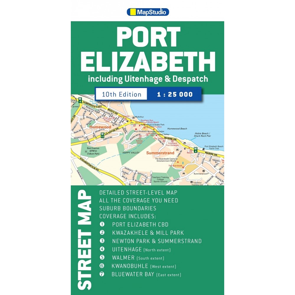
Map Studio skala 1:25 000
Stadskarta över Port Elizabeth, Uitenhage, Despatch Port Elizabeth
Street Map is an updated detailed street map of Port Elizabeth and indicates new proposed street name changes and also includes a detailed street and suburb index.
Content of the Port Elizabeth Street Map is as follows: schools, sports fields, sports clubs, hospitals, clinics and municipal clinics, shopping malls and retail areas petrol stations, parks and nature trails, main routes with route numbers, details of main intersections, positions of traffic lights, road sign markers, metropolitan route numbers, one-way streets, suburb names and boundaries, municipal boundaries, police stations, traffic departments and fire stations.
Coverage in the Port Elizabeth Street Map is :
Uitenhage (North)
Kwanobuhle (West)
Bluewater Bay (East)
Walmer (South)
Key selling points:
Scale: 1: 25 000
Edition: 10th
Format: Soft cover (folded map)
Size: 130 x 250 mm (closed) l 590 x 990 mm (open)


