National Geographic 2019.
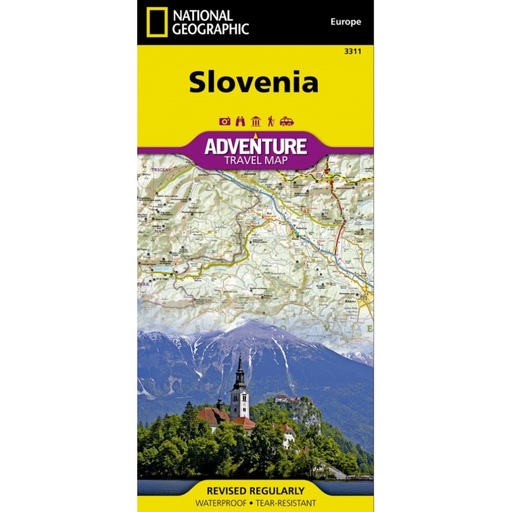
National Geographic's Slovenia Adventure Map is designed to meet the unique needs of adventure travelers with its detailed and accurate information. This map includes thousands of cities and towns with an index for easily locating them, plus a clearly marked road network complete with distances and designations for highways, major roadways, scenic routes, and more. Transportation within and beyond the country is also made easier with the locations of airports, airfields, railroads, ferry routes, and border crossings. Myriad points of interest are noted including national parks, museums, castles, archeological sites, churches, and more.
Slovenia’s western half is shown on the front side of the print map including the cities of Kranj, Ljubljana, Nova Gorica, Postojna, Litija, and Kocevj. The reverse side of the map covers the eastern portion of the country, and shows the cities of Velenje, Celje, Novo Mesto, Crnomelj, Maribor, Murska Sobota, Ptuj, Slovenska Bistrica, and Brezice.
Once a founding member of the Socialist Federal Republic of Yugoslavia, Slovenia declared its full sovereignty in 1991 and is now the richest Slavic nation in the European Union. It is the third most forested country in Europe and over a third of the area is protected. Its picturesque mountain ranges are popular with hikers and skiers while some of its most unique attractions include over 9,000 karst caves, thermal spas, the world’s oldest grapevine, and a large number of casinos. One of the most biodiverse countries in the world, Slovenia offers travelers a wonderful opportunity to enjoy breathtaking natural wonders and a wide variety of diverse experiences in a relatively small region.
Every Adventure Map is printed on durable synthetic paper, making them waterproof, tear-resistant and tough — capable of withstanding the rigors of international travel.


