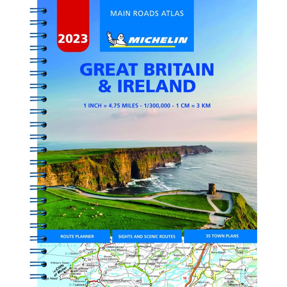
Ed 2023 - Skala 1:300 000
Atlas i A4 format (22 x 29cm) med praktisk spiralbindning.
Innehåller detaljerade kartor, avståndstabeller, stadskartor, körinformation, och ett utförligt index med ortnamn.
Vägar med gröna markerade kanter indikerar natursköna vägar och är perfekt när du vill komma bort från motorvägen eller utforska naturen i ett område.
Teckenförklaring på flera språk.
Full of practical features, the Michelin Road Atlas Great Britain & Ireland is the perfect companion for your everyday journey and holiday planning. Updated every year, it gives you clear and accurate information for a safe and enjoyable journey thanks to a detailed mapping scale of 1/300 000. The route planner as well as the time and distance charts will help you plan and optimise your journey. Michelins safety alerts warn you about dangerous driving areas, such as steep hills, level crossing as well as risk zone subject to tighter speed check. The Michelin Great Britain and Ireland road atlas also shows tourist sights, leisure facilities, as well as scenic routes so that you can make the most of your journey.


