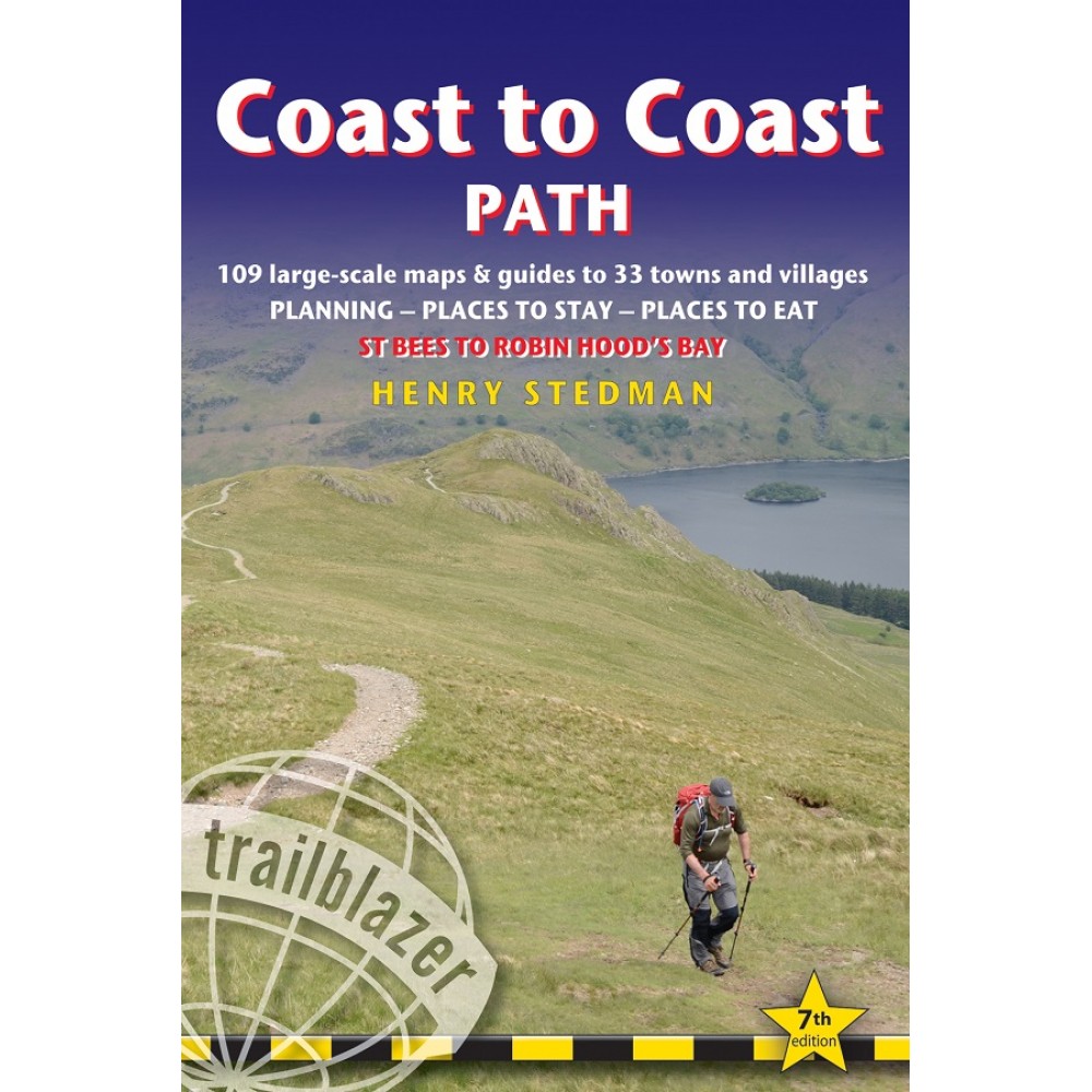
Trailblazer Publications 2016.
The Coast to Coast Path is a 191½-mile (307km) trail that runs from St Bees on the Irish Sea across the width of Northern England to the North Sea at Robin Hood’s Bay. This spectacular two-week walk crosses three National Parks – the Lake District, the Yorkshire Dales and the North York Moors.
The largest scale walking maps available – at just under 1:20,000 – our maps are bigger than even the most detailed walking maps currently available elsewhere
- Unique mapping features - in many walking guides the reader has to read a route description then try to relate it to the map. Our guides are easier to use because walking directions, tricky junctions, places to stay and eat, points of interest and walking times are all written onto the maps themselves in the places to which they apply.
- Downloadable GPS waypoints also included.
- Itineraries for all walkers – whether walking the route in its entirety over two weeks or sampling the highlights on daywalks and short breaks
- All-in-one-guide – reviews of places to stay (campsites, hostels, B&Bs, pubs and hotels), places to eat, attractions along the way
- Comprehensive public transport information for weekend and day walks– all access points on the path
- Henry Stedman is the author of bestselling Trailblazer guides to Kilimanjaro and Hadrian’s Wall Path


