79 x 70 cm
Detta är ett nytryck.
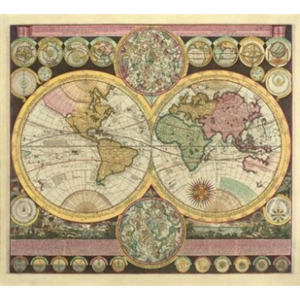
An attractive and decorative map of the world drawn by Zurner in about 1710. The map depicts the geographical knowledge of Europeans at the time - eastern Australia and western North America are largely blank spaces. The interior of Africa is wildly inaccurate - the Nile, Niger and Congo rivers all join up and the Niger flows in the wrong direction! Small diagrams around the edges of the map depict various other themes such as the planets. Overall a fascinating document.


